The acquisition phase of the PGS Painimaut 3D MultiClient program, gathering over 6 100 sq. km of seismic data in Papua New Guinea, is now complete. Fast-track 3D GeoStreamer data is now available.
First data is now available from the Painimaut MultiClient 3D GeoStreamer survey. Full integrity time and depth products will be ready early 2021
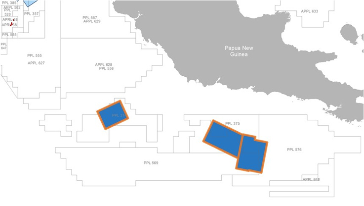
The Painimaut program targets a number of play types in the under-explored Papuan Basin in both held and vacant acreage. This survey has strong industry funding. The survey targets the Tertiary carbonate buildups and Mesozoic rift basins adjacent to the Papuan and Eastern Plateaus, as well as pinch-out plays and drapes over deeper structural highs.
The state-of-the-art Ramform Hyperion marine seismic vessel towed a 12 x 8 km x 150-meter streamer configuration, with a triple-source, to acquire high-resolution broadband data. PGS imaging teams are now processing these results using the latest seismic imaging workflows, including FWI and a full prestack time and depth workflow.
Full integrity, high-resolution GeoStreamer data will be available in Q1 2021. Gravity and magnetic data will also be available.