Starting November 15, 2025, a geophysical survey will be conducted over parts of the central and northern Upper Rhine Graben on behalf of Vulcan Energy. This survey campaign is part of the collaborative project "GeoProH." The goal is to gain an improved regional overview of the geological and structural characteristics of the subsurface and to map fault structures across the entire area. The data will provide a sound basis for planning future projects for the climate-neutral, combined production of renewable energy and lithium. In addition to Vulcan, OMV, Eavor GmbH, the City of Frankfurt am Main, the Karlsruhe Institute of Technology (KIT), and the Hessian Ministry of Economics, Energy, Transport, Housing and Rural Areas are also collaborating on the GeoProH project.
While GeoProH is limited to Hesse, Vulcan Energy will also conduct supplementary measurements in its other licensed areas in Baden-Württemberg and Rhineland-Palatinate (see map below). The survey flights will be carried out over a period of approximately three months and will cover the area between Frankfurt am Main and Offenburg, where Vulcan operates. The survey will commence on November 15, 2025, in the south. A specially equipped aircraft will fly over the measurement area in a grid pattern with a line spacing of 500 m at an altitude of approximately 300–600 m. Measurements will be taken between approximately 6:00 a.m. and 8:00 p.m.; in the vicinity of Frankfurt Airport, occasional night flights may be necessary to avoid disrupting regular flight operations. During the survey, the Earth's gravity and magnetic fields will be measured continuously and with high precision. The measurements will be conducted entirely passively and without any impact on people or the environment.
"The data obtained will provide an improved 3D understanding of the region's geological structures and form the basis for further geological research as well as the planning of future geothermal projects in the Upper Rhine Graben," commented Dr. Kristian Bär, Director of New Business & Exploration at Vulcan. "This will make a significant contribution to the sustainable use of geothermal resources and the regional energy transition."
The data will be used by all project partners and combined with existing drilling and seismic data to create a consolidated, digital 3D subsurface model using state-of-the-art methods such as forward modeling and joint inversion. This model provides a scientifically sound basis for geological research and the planning of future energy and resource projects in the Upper Rhine Graben – a further step towards a sustainable, regional energy and resource supply.
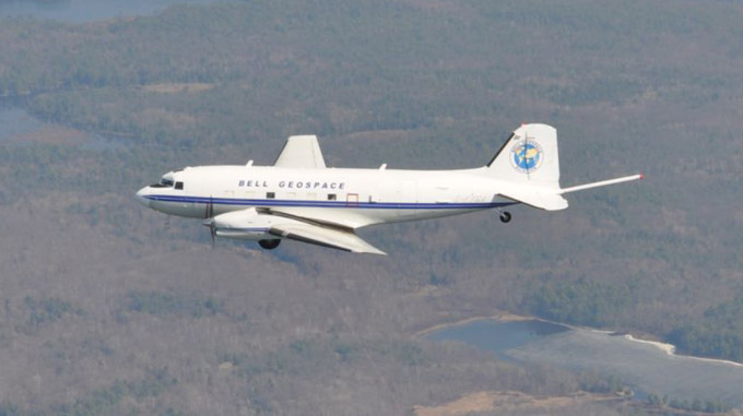
The aerial survey will be conducted by Bell Geospace on behalf of Vulcan.