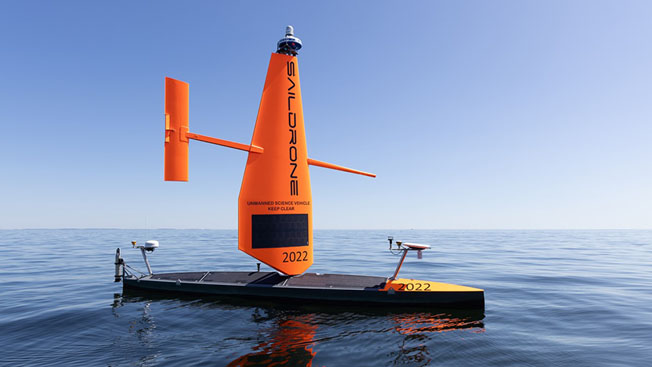
In an effort to resolve that lack of data, Saildrone — a company with expertise in using uncrewed water-borne drones for research — has been selected by the Florida Department of Environmental Protection to map a section of Florida’s coastal waters in the Gulf of Mexico.
That mapping plan is part of the Florida Seafloor Mapping Initiative (FSMI), a multiyear effort to provide statewide stakeholders with accessible, high-quality, and high-resolution seafloor data of Florida’s coastal waters within the continental shelf.
Brian Connon, Saildrone vice president of Ocean Mapping, explained:
"In order to support any of the modeling that we're trying to do for coastal resilience, or for storm surge and things are happening with the heavy weather events, you've got to have a really good knowledge of the bottom of the ocean, because it really impacts the water as it's moving. So if you don't know what's down there, then you can't model it, and you can't predict and keep the public safe."
KeyFacts Renewable Energy Directory: Saildrone