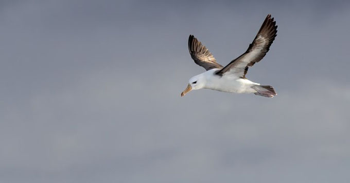
Black-browed-Albatross. Image source: Dr Claire Greenwell
RPS will undertake high-resolution digital aerial surveys in a move to better understand potential seabird collision risk for a proposed offshore wind project in Victoria. This is part of a Flotation Energy initiative that kicked off earlier in the year.
Specialist UK-based company HiDef has been engaged by RPS to conduct the surveys, which will be the first time video surveys of this kind will have been conducted on Australian shores.
The work forms part of RPS’ marine baseline survey program for Flotation Energy’s Seadragon offshore wind project off the coast of Gippsland.
RPS’ national seabird and shorebird lead, Dr Christine Lamont says the collaboration is an exciting step towards understanding more about the behaviour of seabirds.
“We’re excited to be working with HiDef and its high-resolution digital video camera system as it will allow us to get a more comprehensive understanding of the way seabirds are using the project site and potential risks from the wind project.
“Another benefit of this technology is that the surveys are conducted at a height that minimises disturbance to wildlife while capturing high-quality data to inform project impact assessments.”
The first digital aerial survey has just been completed, with monthly surveys to follow to record birds and other marine species that use the area under consideration for the offshore wind project.
The potential for seabird collision is one of the main concerns that needs to be addressed to support an offshore wind project regulatory approval, as well as potential for seabird displacement and barrier effects during operations.
According to Christine, in Australia, we have very limited existing data about seabirds in the region.
“We need to undertake a variety of studies, including the digital aerial surveys, to understand seabird abundance and distribution offshore, foraging behaviours, and flight heights across seasons and weather conditions,” she explains.
The HiDef aerial surveys are part of the broader RPS-designed and led marine baseline program that began in July 2023 for the Seadragon offshore wind project. The baseline environmental program employs a variety of survey methods and RPS is working with several scientific and academic partners.
KeyFacts Energy Industry Directory: RPS Energy