Date: 04 - 06 Sep 2023
Location: Online
Tutor: Richard Jones: Geospatial Research Ltd
Providing a broad overview of geoinformatics and the practical application of geospatial technologies, this essential course is intended for any geoscientists looking to increase their understanding and practical experience in order to help them prepare for the challenges of the GeoEnergy Transition.
You will learn to:
- Recognise different types of spatial data, and how they can be represented and stored in Geographic Information Systems (GIS) and related software.
- Describe the pros and cons of 2-D and 3-D geospatial user interfaces as a primary way to organise and access data.
- Understand spatial resolution, precision and accuracy.
- Assess different approaches to evaluating spatial data, including geostatistics and geospatial analysis.
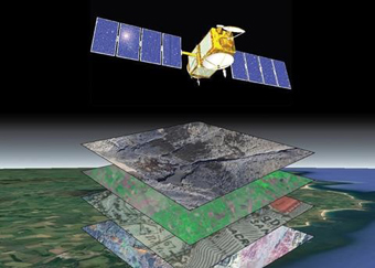
- Download and process earth observation satellite imagery.
- Acquire and process Global Navigation Satellite System (GNSS) data for high precision spatial positioning.
- Evaluate current trends in the GeoEnergy Transition.
KeyFacts Energy Industry Directory: GeoLogica l KeyFacts Energy news: Training