By Daniel Doolittle
Environmental Services Manager, Fugro
Accessing essential environmental data in the earliest stages of an offshore wind farm project can help you make crucial decisions more quickly. If you use a single contractor to deliver your Geo-data as part of a holistic approach to site appraisal and concept design, you’ll realise these benefits even sooner.
The initial phase of an offshore wind farm development usually comprises site appraisal and concept development. Apply Fugro’s six top tips outlined below to accelerate and optimise decisions and reduce the risk of delays.
Select the right team
Where disparate subject matter experts – engineers, site characterisation specialists, permitting teams and environmental consultants – are involved in a project, you can end up with a bewildering array of voices, terminology and perspectives. This can cause confusion and delays.
To prevent this, appoint a single service provider, such as Fugro, with expertise in:
- Biology and geology – both disciplines are essential to efficient environmental consultations;
- Geophysical surveys – to help cut through the ‘noise’ of preliminary data processing and avoid lengthy delays;
- Working with all stakeholder categories.
See the whole picture
Oceans are subject to seasonal changes: sand waves move, food resources vary and environmental usage of the seafloor differs. So a couple of benthic habitat snapshots are unlikely to provide you with sufficiently accurate and complete data.
To gain a full understanding of the species of interest and what defines a high-quality, permanent habitat, you need to have mapped the temporal aspects of habitat usage.
Choose a provider who can supply long-term observation tools (such as shallow environmental landers and moorings) and shallow-survey technologies (such as airborne lidar and satellite bathymetry). These will help to plug any Geo-data gaps in your site appraisal and concept design.
Validate your environmental snapshots
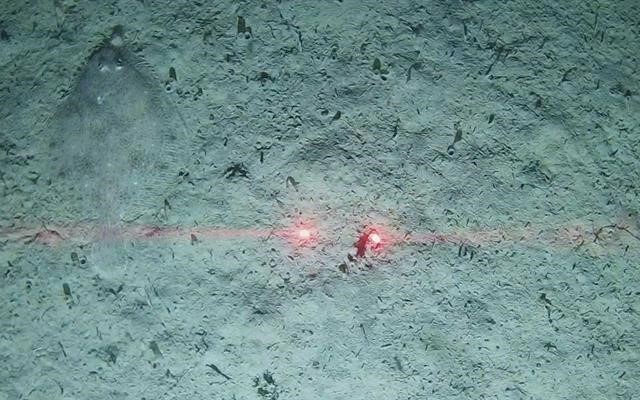
The profusion of pictures, video, HD and high-resolution optical imaging available today has facilitated an unprecedented understanding of the seafloor and shallow water zones. But these images don’t always accurately represent the benthic habitat of the area of interest.
To avoid inaccuracies, acquire your data using seabed devices that provide real-time images and a more expansive ‘seascape’ view of the seafloor, to validate your environmental snapshots. Choosing a provider with expertise in interpolation and extrapolation will enable you to augment the validation, giving you complete confidence in the integrity of your imagery.
Derisk your project across multiple domains
Select a Geo-data specialist with an acknowledged risk-avoidance culture, such as Fugro. This will ensure you maintain a cohesive approach to reducing uncertainties.
Innovative technologies, such as uncrewed surface vessels and artificial intelligence detection tools, can enrich the expertise of your environmental team and make sure risk reduction remains a fundamental aspect of your project.
Consider all stakeholders
A contractor with a track record in environmental services and high-grade equipment can help you meet regulatory requirements. But don’t overlook the bigger picture.
Your stakeholders, including indigenous and ethnic groups, taxpayers and fishing communities, should be able to trust in your clear communication and expect due consideration.
User-friendly visualisation tools, such as Fugro’s Gaia Hub, can help you engage more effectively and efficiently with all stakeholders, while also helping them to understand benthic resources, essential fish habitat mapping and the overall development process.
Protect your reputation as a good steward
Protect your valuable reputation as a responsible user of the marine realm by selecting an environmental service provider whose sustainable values and commitment to social and environmental justice are aligned with your own.
For example, working with contractors to help you better understand the positive and negative impacts of offshore wind farm developments on biodiversity can support development decisions and preserve your good stewardship.
As the world transitions to renewable energy, specialist services are widely available for the different stages of offshore wind farm development. Select a service provider that can unlock Geo-data insights while working as an extension of your team. You’ll avoid delays, accelerate and optimise your decision-making, and reduce project uncertainties.
DID YOU KNOW?
- Offshore wind farm developers must consider the environmental impact of their development over a 30-year period or more
- Developers can experience delays of up to 12 weeks with data interpretation by a third-party environmental consultant, due mainly to the extensive amount of time required to process all the geophysical data
- Regulators still need to gain a full understanding of the positive and negative environmental impacts of species (native and non-native) that colonise marine renewables structures – and changes to the marine ecosystem that such structures may cause
KeyFacts Energy Industry Directory: Fugro