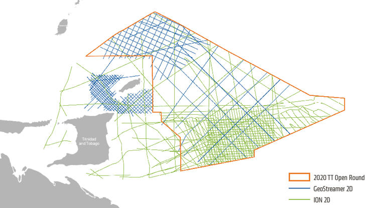
PGS and ION are offering a comprehensive 2D data package comprising over 25 615 km offshore Trinidad and Tobago. These six datasets offer an exploration advantage for bidders in Trinidad’s Open Bid Round.
PGS / ION data packages for Trinidad & Tobago 2020 licensing opportunities
Datasets Reveal Exploration Opportunities
Six individual MC2D data packages are available targeting areas relevant for the ongoing Trinidad & Tobago round. Click on the links to access details on the data packages.
- Deepwater Atlantic Area | MCS DWECMA 2D GeoStreamer | 1 966 km of long-offset broadband 2D
- Patao High | MCS NCMA 4-5 2D | 2 352 km of high-resolution 2D seismic
- Western Tobago Sub-Basin | MCS Tobago Trough 2D GeoStreamer | 2 448 km of long-offset broadband 2D
- Trinidad Regional Line | CaribeSPAN | Approximately 5 700 km of high-quality, long-offset, PSDM seismic data. Supplemented by 5 200 km of deeply imaged reprocessing on a tight 4 km grid
- Darien Ridge | Trinidad Ultra Deep 4 900 km of reprocessed, vintage data located over the east of Trinidad
- Caramba Reprocessing
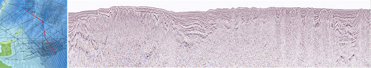
A regional 2D seismic line through Columbus Basin
Trinidad’s Geologic Story
The Neogene-Recent deepwater Trinidadian basins were formed during the arrival of the Caribbean Plate by a complex interaction with the pre-existing Atlantic Plate. This west-to-east collision resulted in the subduction of the Atlantic Plate by the overriding Caribbean Plate and an oblique collision with the northern South American passive margin. This advancement of the Caribbean was coeval with the Miocene initiation of the Orinoco Delta in the eastern Venezuela-Trinidad region and was responsible for the deposition of main reservoir intervals in the basin.
In the deep water, sediment loading from the delta-generated shale walls and diapirs in the Columbus Basin while strike-slip faulting in the Tobago Trough to the north, formed basement highs, such as the Patao KK High. Both basin settings offer significant structural and stratigraphic trap potential.
Shales from the Late Cretaceous Naparima Hill and Gautier formations constitute the main source rock in this region, equivalent to the Canje Formation offshore Guyana. Additionally, the Early Miocene oil-prone Cipero formation source rock has potential for maturity where burial depth is sufficient, in the deepwater Columbus Basin.
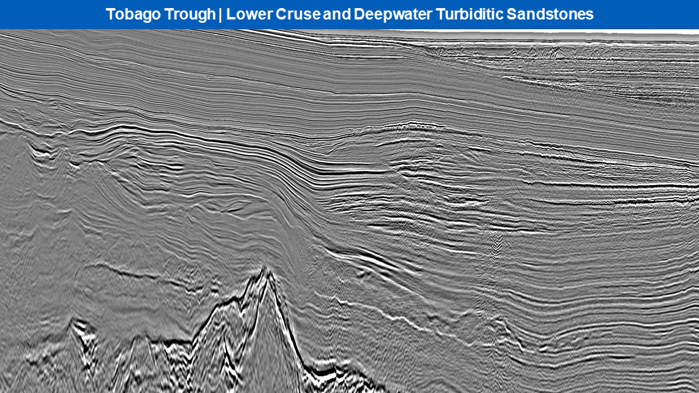
GeoStreamer 2D data imaging the upper Miocene and lower Pliocene deltaic sandstones of the Lower Cruse petroleum system, as well as deepwater turbiditic sandstones